 BlueSat
Solutions
Four ways in. One farm record.
Satellite intelligence, a climate-smart method, a shrimp programme and the MRV to prove it. Whichever you start with, they all write to the same record of the same farm.
Where to start
Solutions for a sustainable future.
These are not four products to choose between. They are four entry points into the same platform, and a farm usually arrives through one and ends up using several.
BlueSat
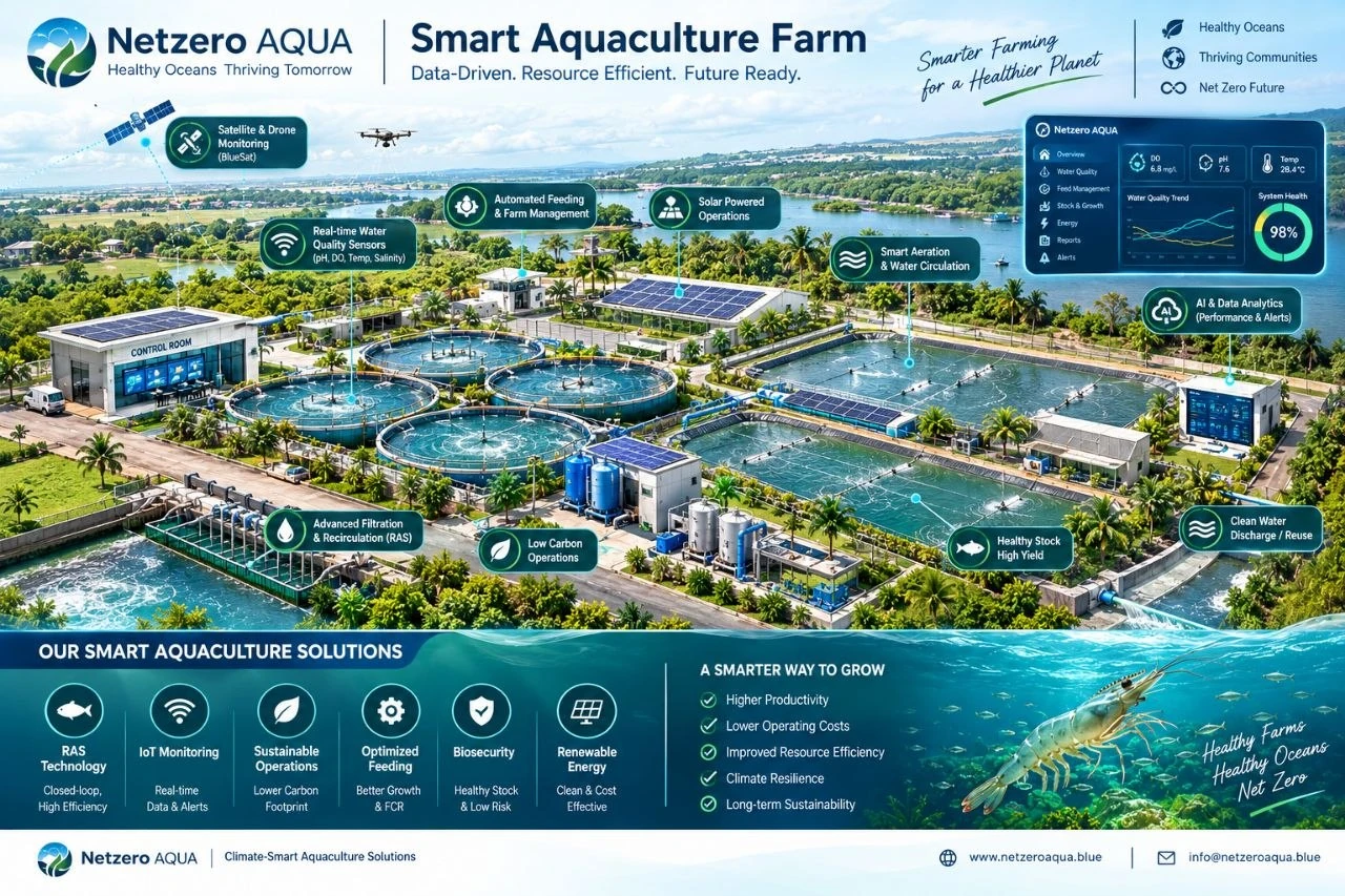 Climate-Smart Aquaculture
Produce more with fewer resources.
Data, technology and best practices for productive, resilient aquaculture.
Learn more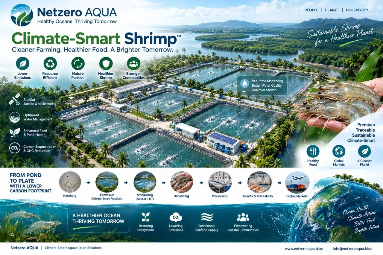 Climate-Smart Shrimp™
Shrimp produced with measurable climate performance.
Our flagship farm programme, from baseline through to verification.
Discover programme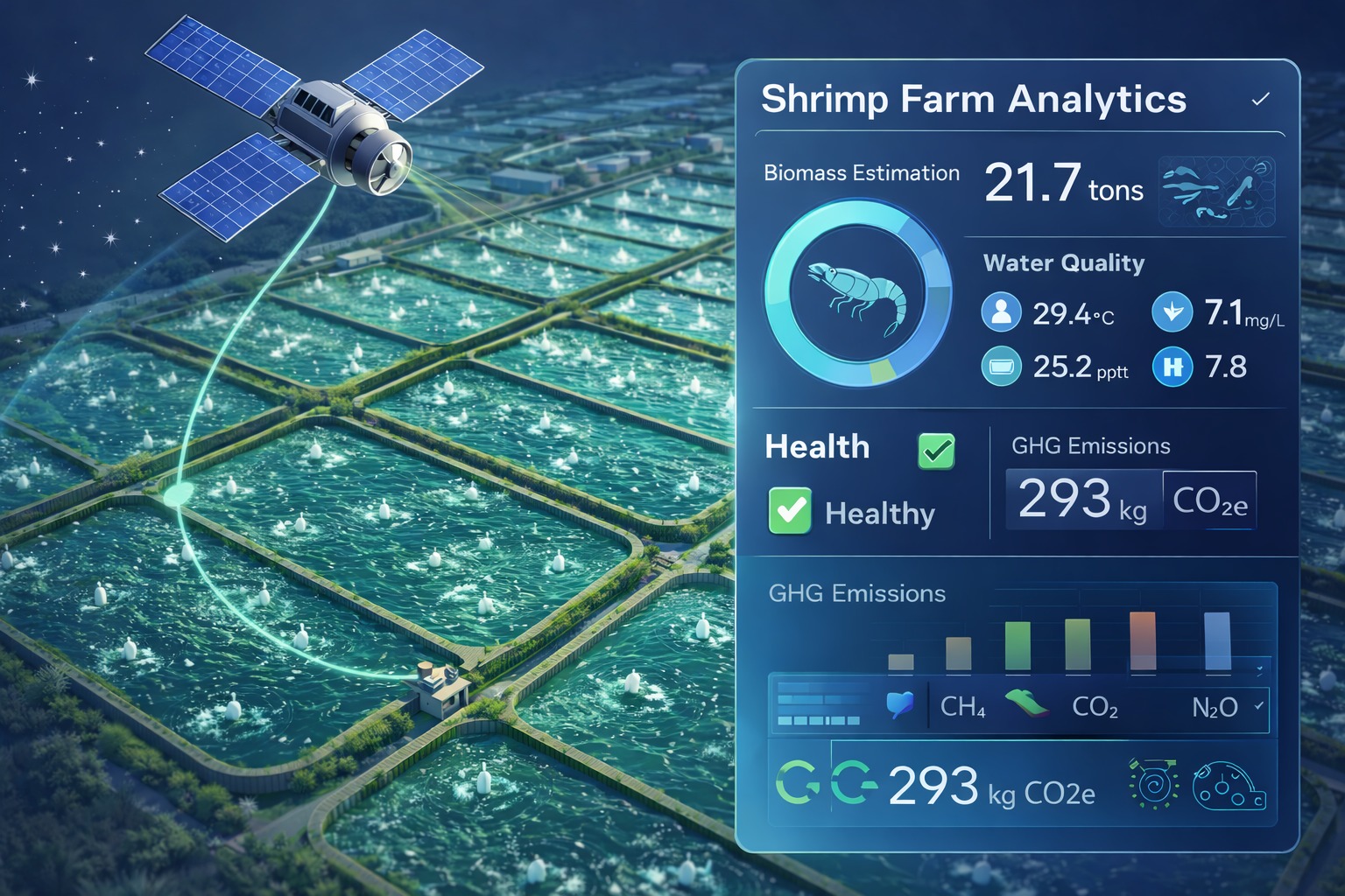 Carbon & MRV
Measure what the farm changes.
Build credible climate impact with MRV and verification.
Explore Carbon & MRVWhat we deliver
One farm record, built from the pond outward.
You do not choose between these. A farm buddy traces your ponds once, and everything after that is built on those outlines — the satellite readings, the compliance figures, the cycles and the yields. Get the outlines right and every number downstream inherits that accuracy. That is the whole design.
01
Satellite
Water quality without a meter
Landsat-9 and Sentinel-2 pass over the Andhra coast on a fixed schedule and have been recording it for years. We clip that imagery to your exact pond outline.
Eleven indices per clear pass: surface temperature straight off Landsat-9's thermal sensor, turbidity and clarity, salinity, pH and alkalinity, chlorophyll-a and floating algae for bloom risk, dissolved organic matter and suspended solids for ammonia risk, and the land use around your farm. Each one is labelled in the app with how it was obtained.
Because the archive already exists, a farm can be read backwards — a season you did not measure at the time is available now.
What you get. A water record for every pond you farm, stretching back through seasons you never measured, with no meter to buy and nothing installed in the water. Keep your meter on the bund for dissolved oxygen — BlueSat handles everything the satellites can see.
02
Fieldwork
Ponds mapped by a person
A farm buddy visits, traces each pond on satellite imagery while standing at the water, and records the details that the rest of the system depends on.
Water spread area is calculated from those traced outlines. It is never typed into a form, because the Coastal Aquaculture Authority assesses a fee on that figure, and a typed estimate is indistinguishable from a measurement once it has been stored — including to the person who typed it.
- Survey number taken from the pattadar passbook, entered once
- Pond boundaries traced on imagery, on site
- Farm coordinates and area derived from the outlines
- Login handed over in person; there is no signup form
What you get. A water spread area you can put in front of the Coastal Aquaculture Authority, pond boundaries accurate enough to clip satellite imagery to, and a login in your hand before your buddy leaves the farm. One visit, and the setup is done.
03
Compliance
CAA records that hold up
Coastal aquaculture in India requires registration with the Coastal Aquaculture Authority. The figures it asks for are the same ones the app is already keeping.
Form I wants the survey number, the water spread area, the species and the stocking density. Those fields are tracked as part of ordinary use rather than assembled in a panic before an inspection, and registration expiry is watched.
The CAA caps L. vannamei at 60 post-larvae per square metre. International aquaculture writing calls 70–100/m² ordinary; our density bands follow the Indian cap, because a tool that tells a farmer here that 90/m² is normal is giving advice that could cost them their registration.
What you get. The Form I figures already assembled and current, density checked against the Indian cap as you stock, and registration expiry watched for you — so an inspection is a morning of paperwork you already have rather than a scramble.
04
Production
Cycles, feed and what the crop actually did
Stocking to harvest, pond by pond, with the feed and the growth samples in the same place as the water readings.
Feed conversion ratio and survival are calculated from your own logs, crop by crop — real figures for your ponds, not an industry average. Every number on the screen traces back to something you or your buddy actually recorded, which is what makes it worth stocking the next cycle against.
Once a cycle is finished you can look at the water through a season whose outcome you already know. That is how a pattern becomes a rule you can farm by.
What you get. FCR and survival calculated from your own crop rather than from a rule of thumb, cycle against cycle, so you can see which ponds and which practices actually pay — and carry that into the next stocking.
Who it is for
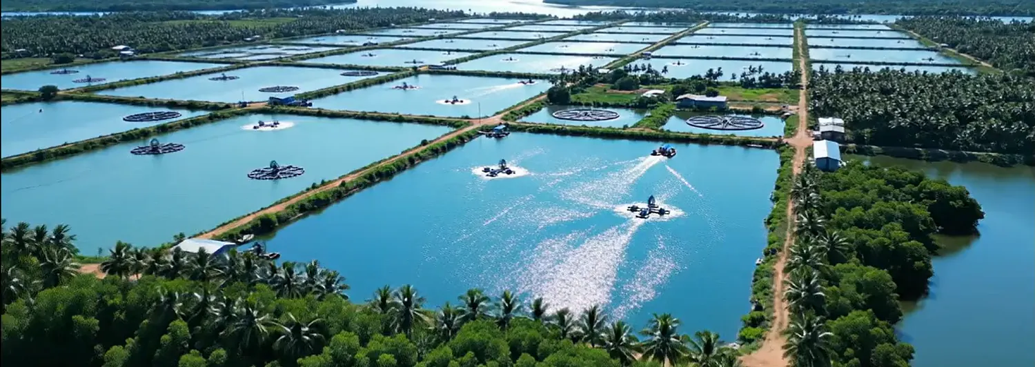
Vannamei farms in the delta.
Built around one species, one coast and one set of regulations, because that is what it takes for the numbers to be right. If you farm shrimp in coastal Andhra Pradesh, run a co-operative, or buy from farms that do, this was made for you.
The climate-smart methodology and the MRV work generalise beyond that. The pond-level accuracy does not, yet — and we would rather say so than sell into a region we cannot measure properly.
Getting started
Three steps, and the first one is ours.
Setup is our job, not the farmer's. Asking a farmer to onboard themselves is asking for the step that does not happen.
-
1
Tell us where you farm
District and village. We assign farm buddies by district, so that single detail decides how quickly we can reach you.
-
2
A buddy visits
Registration, pond tracing and the CAA details, done on site in one visit. You are handed a login before they leave.
-
3
The record starts building
Log feed and samples as you go. Water quality arrives from the satellite on its own schedule.
Want the detail behind the satellite work?
BlueSat is documented in full — which parameters are measured, which are inferred, and where the method stops being reliable.