Algae risk increasing
Chlorophyll-a has climbed across the last three observations of Pond 12.
BlueSat
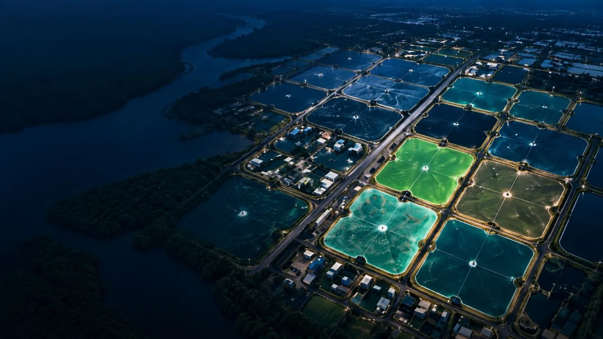
Satellite-powered intelligence for every pond. Monitor water quality, detect risks early and make better decisions — without walking every bund to find out something changed.
See. Understand. Act.
How it works
Five steps, repeated every time a usable image lands over your farm. Revisit frequency depends on the mission and the cloud — BlueSat tells you when a pond was last actually seen rather than implying a continuous feed.
Satellite imagery is pulled from multiple public missions as each pass lands.
Landsat-9 · Sentinel-2Cloud processing masks cloud, corrects reflectance and cuts the scene to your pond boundaries.
Per-pond extractionWater-quality and risk models read the pond-level signal against its own history.
Models · TrendsWhere a parameter moves out of range, the pond is flagged with what changed and how fast.
Ranked by riskThe farm acts, records what it did, and the next pass measures whether it worked.
Action · FeedbackThe product
All your ponds, ranked by what needs you first.
Insights
An observation is not advice. BlueSat surfaces what changed and how fast; where a treatment is involved, the recommendation goes through Netzero AQUA's advisory workflow rather than straight from a model to your pond.
Chlorophyll-a has climbed across the last three observations of Pond 12.
Pond 12 is approaching the upper operating range for this stage of the cycle.
Feed conversion in Pond 07 is running above target against its own baseline.
An advisory is available for Pond 12. A Netzero AQUA agronomist reviews it before it reaches you.
Why BlueSat
See a change days before it is visible from the bund.
Fewer unnecessary farm visits and less guesswork per cycle.
One consistent measurement method across every pond you run.
Better water decisions support survival and feed conversion.
One pond or four hundred, the workflow does not change.
Use fewer resources and evidence the improvement.
The difference
| Traditional | BlueSat | |
|---|---|---|
| Observation | Periodic, by eye, when someone walks the bund | Every satellite pass, every pond, the same way |
| Inspection | Manual pond-by-pond inspection | Satellite-assisted, prioritised by risk |
| History | Whatever was written down | A continuous record you can trend |
| Posture | Reactive — act once it is visible | Early warning — act while it is cheap |
| Scope | One pond at a time | The whole farm in one view |
| Reporting | Assembled by hand at the end | Generated from the data already collected |
Not a standalone product
BlueSat feeds the Earth, Water and Farm intelligence layers. Those feed Climate Intelligence, which feeds Carbon. That chain is why a satellite observation in April can end up inside a verification report in December.
See the full platform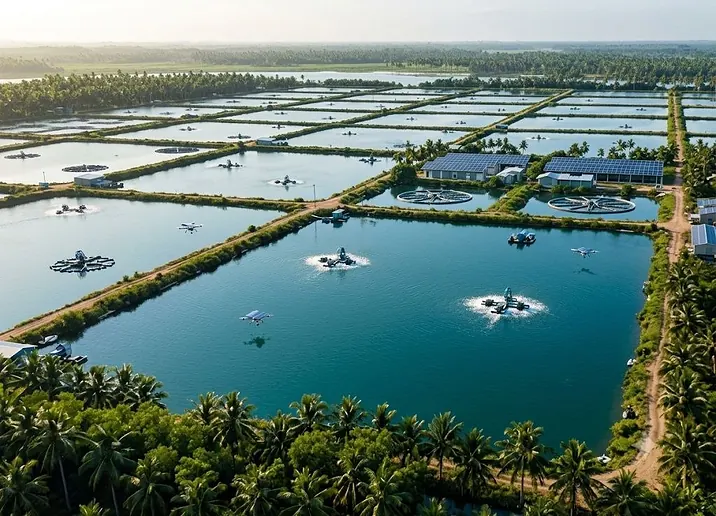
Start your BlueSat journey with a pilot on one cluster of ponds.